 Stories of Great Americans for Little Americans
Stories of Great Americans
Stories of Great Americans for Little Americans
Stories of Great Americans

 Stories of Great Americans for Little Americans
Stories of Great Americans
Stories of Great Americans for Little Americans
Stories of Great Americans
Study the lesson for one week.
Over the week:
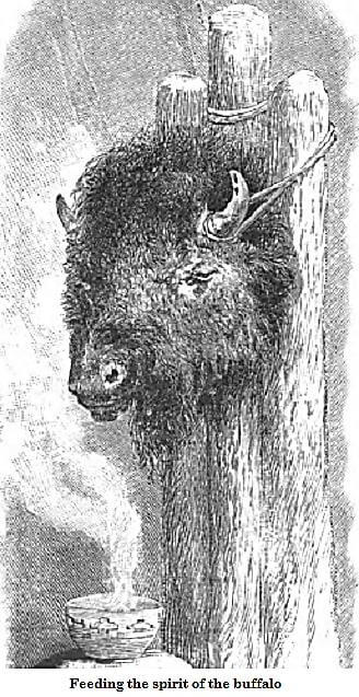
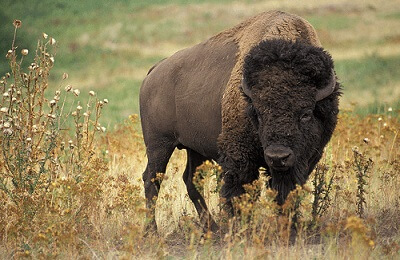
Buffalo are heavily built, shaggy brown wild oxen with horns.
Facts about buffalo:
Source: en.wikipedia.org/wiki/American_bison
Activity 1: Narrate the Story
Activity 2: Color the Story

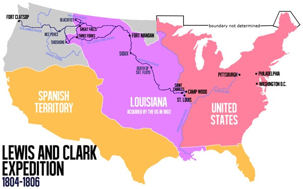
Activity 3: Map the Story
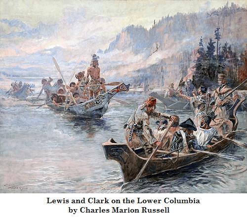
Activity 4: Study the Story Picture
In the picture below, Louis and Clark encounter a group of Columbia River Indians. The Columbia River Indians are advancing in decorated dugout canoes on the group. Louis and Clark's Indian guide, Sacagawea, holds her hands out and talks to the Indians, hoping to keep the peace.
Study the picture, and find the following:


 About
About Curriculum
 Navigation